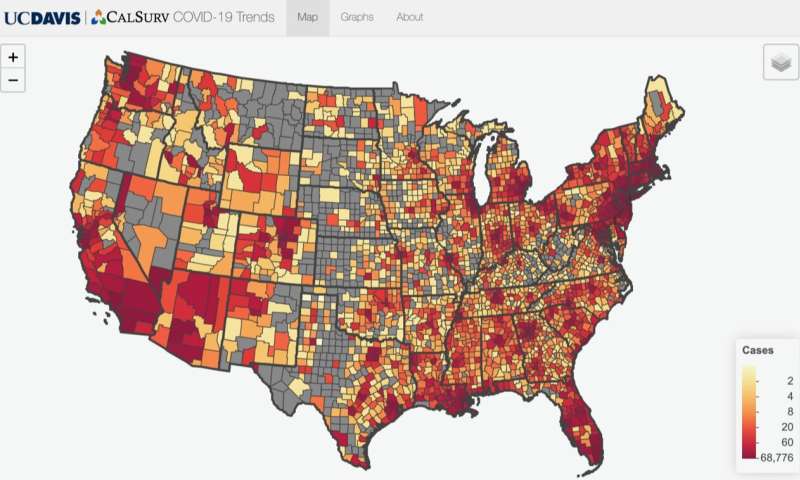
Researchers at the University of California, Davis, have developed a new web application that allows users to track COVID-19 cases and testing across the globe. The app offers a simple, intuitive way for users to track COVID-19 data at the country, state and county level.
“I found many of the best real-time visualizations of the COVID-19 data to be either complex dashboards or snapshots associated with media stories that made it difficult to get a simple, quick comparison of the latest COVID-19 trends,” said Christopher Barker, an associate professor of epidemiology with the UC Davis School of Veterinary Medicine who led the project.
The website app features interactive maps and graphs. It also includes a web address that tracks the user’s current view so it can be bookmarked and shared with others. The COVID-19 U.S. map allows users to hover over states with their mouse or click on a specific state to find information on cases, testing, deaths and other COVID-19 information over time. The website uses open, publicly available data from the COVID Tracking Project, Johns Hopkins University and the New York Times.
Barker wrote the computer code to generate graphs on demand and teamed up with CalSurv programmer Jody Simpson, who developed interactive maps and streamlined the web application. CalSurv is a surveillance system that helps mosquito control agencies and public health officials monitor and respond to potential outbreaks of mosquito-borne diseases by mapping the insects that can carry deadly viruses. Although the virus causing COVID-19 is not transmitted by mosquitoes, the team was able to leverage resources at UC Davis and CalSurv to help during this emergency.
Source: Read Full Article
